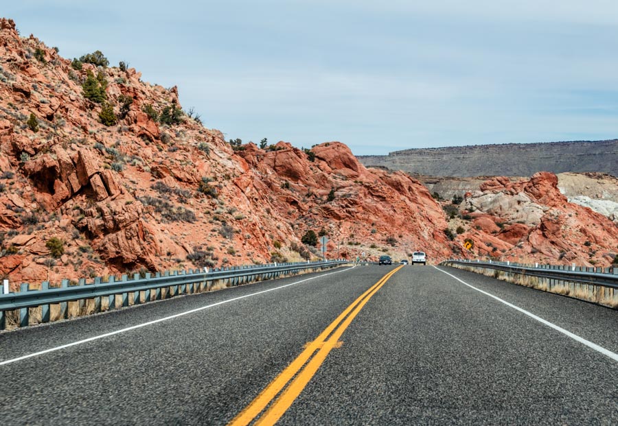
Venturing just across the state line from Page, Arizona, you will discover Utah’s Toadstools trail. Merely stumbling upon the Toadstools in Utah while driving along the US- 89, I was immediately drawn to the drastic landscape. After passing by staring wide-eyed, we decided to divert from our original plans and hike the Toadstools instead. Hearing little about this trail before my visit, I had no clue I was about to see one of the most incredible natural landscapes I have ever seen!
How to Get to the Toadstools
The Toadstools trail is located in Southern Utah, directly off the US-89. This trail is an easy spot to stop if you’re driving between Page, Arizona and Kanab, Utah.
From Page, Arizona: Drive 27 miles west and you will see the Toadstools to your right-hand side. The drive takes approximately 30 minutes.
From Kanab, Utah: Drive 44.5 miles east and you will see the Toadstools to your left-hand side. The drive takes approximately 40 minutes.
What are the Toadstool Hoodoos?
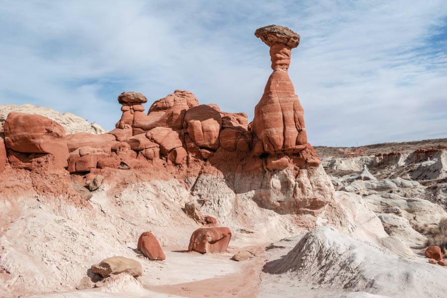
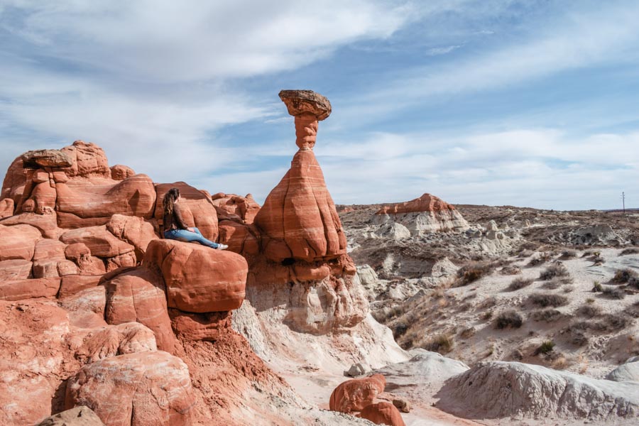
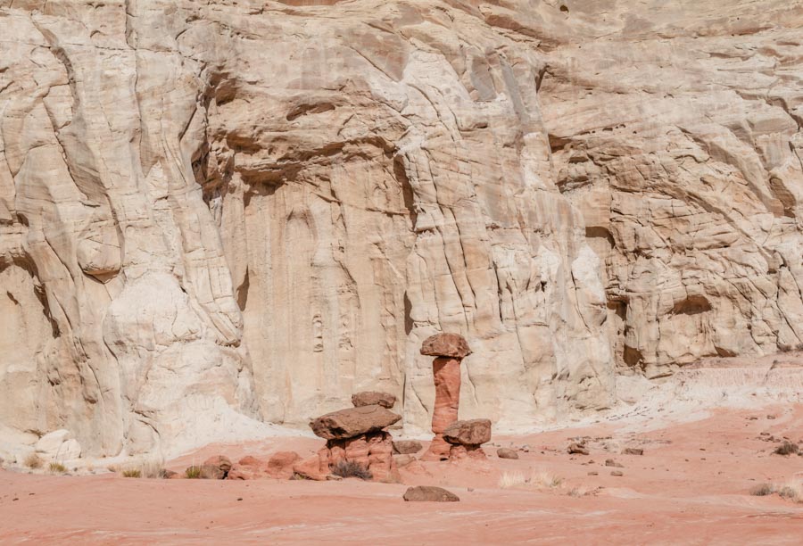
The Toadstools is an enchanting wilderness area located in the Grand Staircase-Escalante National Monument in Utah. This area is named for its’ Toadstool hoodoos which look like mushroom-like rock formations.
Things to Know about the Toadstools
Trail Difficulty: Easy
Terrain: Sandstone and sand
Length: 1.6 miles out and back trail
Parking: Free
Entrance: Free
Tips for Hiking Toadstools in Utah
Bring plenty of water! The climate in this region is very dry and it is recommended to bring 1 liter of water with you on a hike.
Hike during cooler parts of the day! If the weather is hot during your visit, go on an early morning or evening hike to avoid the hottest parts of the day.
Toadstools Trail
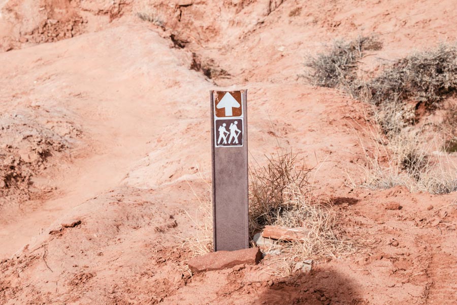
The Toadstool Trail is an easy out and back trail, the trail is .8 miles each way and 1.6 miles round trip. There is a small gain in elevation, yet the sand and sandstone terrain is fairly even, making it an easy hike. Keep in mind that temperatures can be hot during the Summer months, so be sure to bring plenty of water with you.
Beginning of the Trail
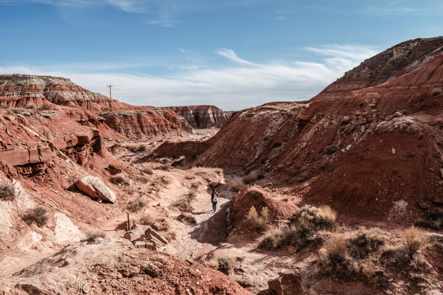
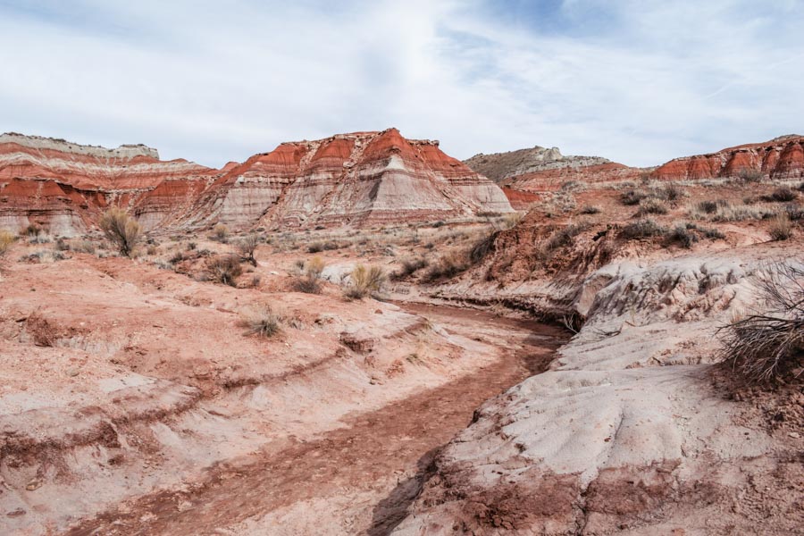
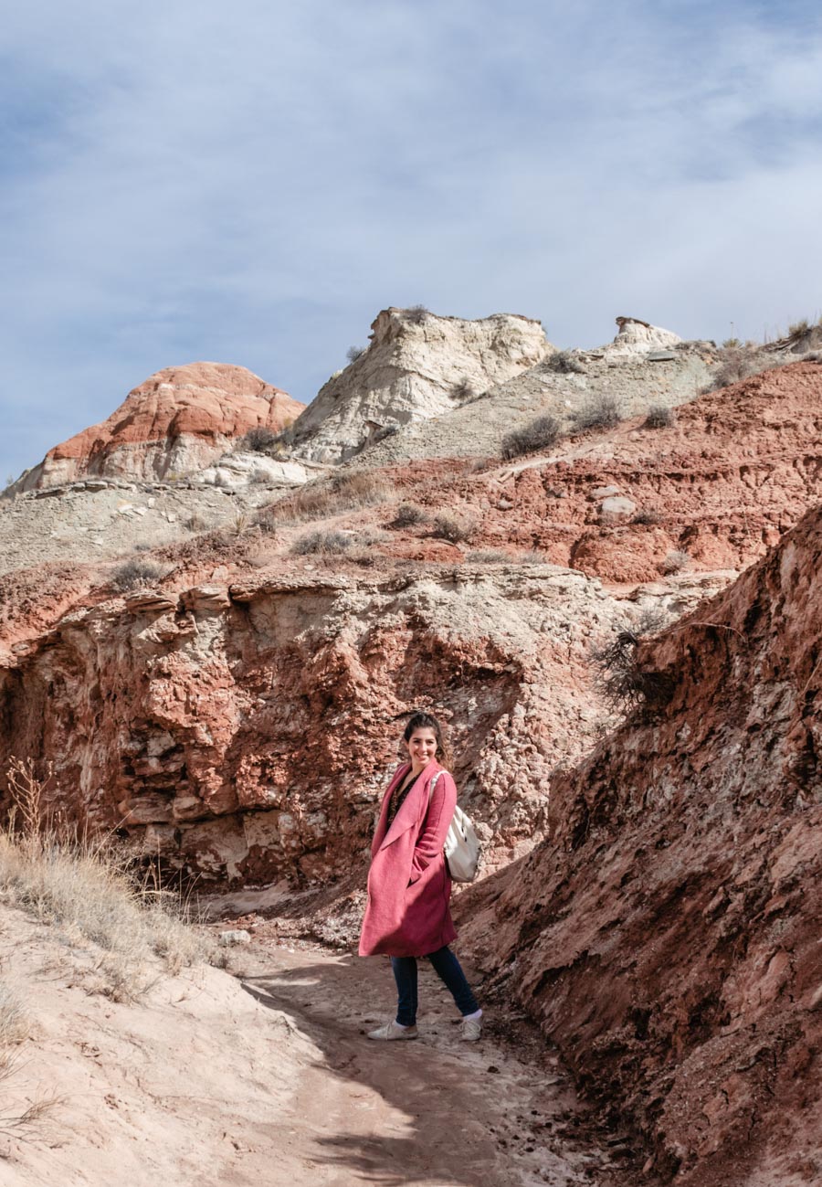
I had no idea that this roadside pull off would lead to such a beautiful hiking trail. The trail starts off on flat terrain as you slowly work your way towards the Toadstools. At first, you cannot see the Toadstools, just the sandstone canyons. The trail follows the usually dry riverbed through canyons, making for a smooth and enjoyable walk.
The Toadstools
As the trail begins leading upwards, you will finally see the first Toadstool. This is one of the most popular of the Toadstools on the trail. The rock seemed almost impossibly balanced. Yet, don’t turn around here.
Once you pass the first of the Toadstools, you will come into a clearing of more of them. The Toadstools jut out across the sandstone clearing in the most spectacular way, creating quite a unique landscape. These peculiar rock formations seem like they are from Mars. This area is like a natural playground to explore. You can climb around, checking out the various Toadstools and views. Yet, do not attempt to climb the actual Toadstools.
The Badlands
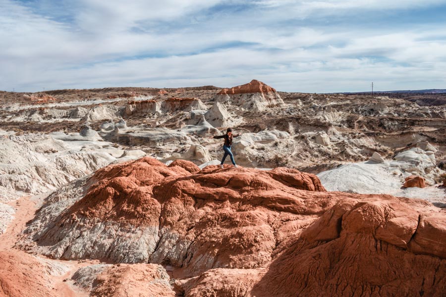
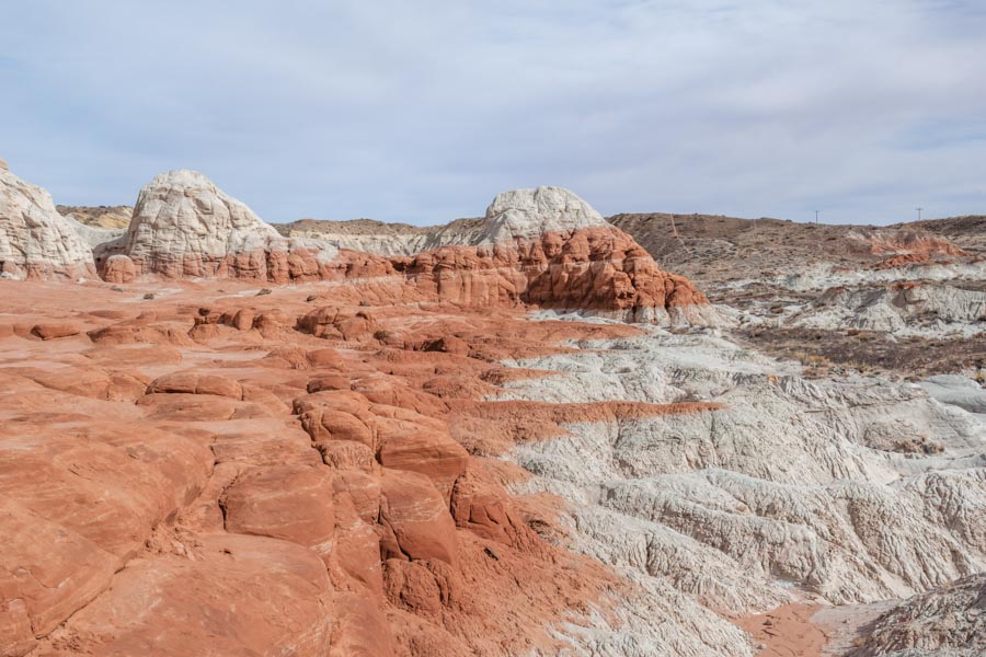
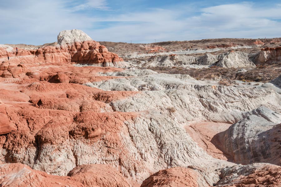
Aside from the whimsical Toadstools, you will be rewarded with magnificent views of the badlands during this hike. The badlands span into the distance with beautiful white and orange coloration. While the Toadstools are a unique aspect of this wilderness area, the badlands are jaw-droppingly beautiful.
Where to Stay Near Toadstools Utah
If you’re exploring the region, the best places to stay would either be Page, Arizona or Kanab, Utah. Both of these locations are a close drive from the Toadstools trail and have plenty of accommodations and other things to do to fill your time.


Beautiful! Pinning this for future reference! I’ve only been to the US twice for city breaks in NYC and Boston but would love to go on some epic road trips! 🙂